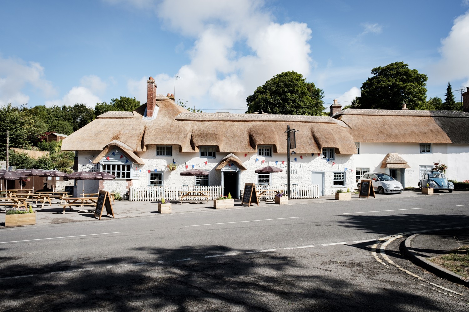


The Queens Arms to The Swan
START:
Turn left out of the Queens Arms and walk uphill to the left hand bend. Fork off right and go ahead for a yard or two on the tarmac drive towards the houses and then turn left on the marked footpath up a drive and continue on up a path. Walk under trees and start to climb. Go through a wooden kissing gate and follow the arrow across the field. On the other side, follow the path through the edge of a wood, still climbing. Go up steps and through a gate and the path continues briefly under trees and then enters a field. Carry on across and on the far side a kissing gate leads onto the Roman Road.
This was once a drove road moving animals across Mendip. The actual Roman road is parallel but a little further to the north.
1.ROMAN ROAD
Turn right and before long you reach the top of the hill and have great views on a good day across the Levels to Brent Knoll and the Quantocks. Just past a seat and small parking area, take the first footpath up the drive to Bleadon Hill Golf Course.
2.GOLF COURSE
Make sure you read the warning signs, and stay on the path. Pass the golf club building and then head across the course following the well defined track, and going closely alongside a golf driving range. Here you need to take particular care. Simply keep following the track. Go down into a hollow, through a gate and carry on. Maintain this direction through gates and come alongside a wood. At the end of the field enter the woodland.
The path goes straight on through the wood which should be a picture with bluebells and primroses in season. Carry on, soon dropping downhill.
3.UPPER CANADA
Reach a junction with a lane by cottages in an area known as Upper Canada and turn right following the lane quite steeply uphill. At a right hand bend near the top, turn left onto the West Mendip Way and follow it along (this section is also walked the other way round on the Butcombe Trail leg 3 from Axbridge to Bleadon). At a T-junction with a track turn left downhill and at a track junction turn right. At a fork of tracks take the left one. Carry on all the way on this track which can be wet and muddy but there are dry parallel side paths. Eventually join a tarmac stretch leading to the bridge over the M5.
4.BRIDGE
Cross the bridge and join a lane. Keep straight on, passing two house entrances on the right and then a farm track. Turn right and pass the farm on your left.
Continue along this track with beautiful views across to Crook Peak and Mendip. After about 0.75 miles, pass a cottage on the left, and go through a gate across the track. Continue on along the foot of this field to a gate onto a lane, and go straight on.
5.STILE
Shortly, go right over a stone slab stile and go straight on down, following the left edge of the field for a while. The humps and bumps on the right are the remains of an important Roman building, probably a villa. Carry on down the field heading towards a bungalow. Cross one stile and then, further on, another in the corner to the left of the bungalow.
Turn left on the lane. Ignore Max Mill Lane on the right and continue on the Rhodyate.
Just before a farm ahead and a left bend, go right on the stony drive a few yards and right through a pedestrian gate. Follow the left fence all the way to a gate, where you turn left.
At the time of writing, massive work was going on in this area to put electrical cables under ground taking power from Hinkley Point across country. But the fields will be restored to normal when completed. Follow the left hedge to another gate. Then follow the left hedge round a corner and on along the top of the field. As you go you may be able to see Banwell Castle up on the hill. Continue along the left hedge through two more fields all the way to the main road.
6.LAY-BY
Cross with care and go left by a barrier onto a redundant lay-by. Go along and turn right up steps and through a kissing gate (KG). Follow the hedge, go through a gate and on across the field passing close to a large pylon. On the far side, go through a KG. Stay along the left hedge in this field and the next and in the corner go through a gate onto a track. Turn right. This leads to a tarmac lane, passing a cemetery and crossing a bridge over the old Strawberry Line. It’s straight on now to the main road in Sandford Batch.
Go straight over and along Shipham Lane.
7.UPLANDS
After a few minutes turn left on the drive to Uplands Holiday Cottages, probably passing two donkeys in the field on the right. At the bottom, turn left and follow the track as it bends right and climbs. Go through a wooden kissing gate and on up to a path. Turn left and follow this all the way out through a barrier. Pass old block work on the left which were the urinals for Italian POWs in WW2 working in the forge and quarry here. Reach a cottage and a junction.
8.SANDFORD WOOD
Turn up right on a track, going back on yourself into Sandford Wood. Climb up through the woodland. Further on, stay on the upper path (don’t go through the track through a metal barrier) and continue up through these beautiful bluebell woods.
9.LYNCOMBE HILL
At the top go through a gate and come out onto open land on Lyncombe Hill. Continue along the main track and through another gate. Then come to a large gate and waymarked gate next to it facing you to the right of the track and go through this, to follow the footpath. Soon, ignore a path right and carry on to a T-junction with another track by a Bristol Water enclosure.
Turn right on this stony track and drop downhill and round to reach the main A38 at the hamlet of Star.
10. STAR
Go straight over along the left edge of a small field, and in the corner cross metal stile. Turn left along the bottom edge of the field – an uneven field showing evidence of former mining for calamine and lead. Go through a gate at the end and cross the road.
11.PHILFARE LANE
Go ahead on Philfare Lane track. After about a third of a mile come to the Swan.