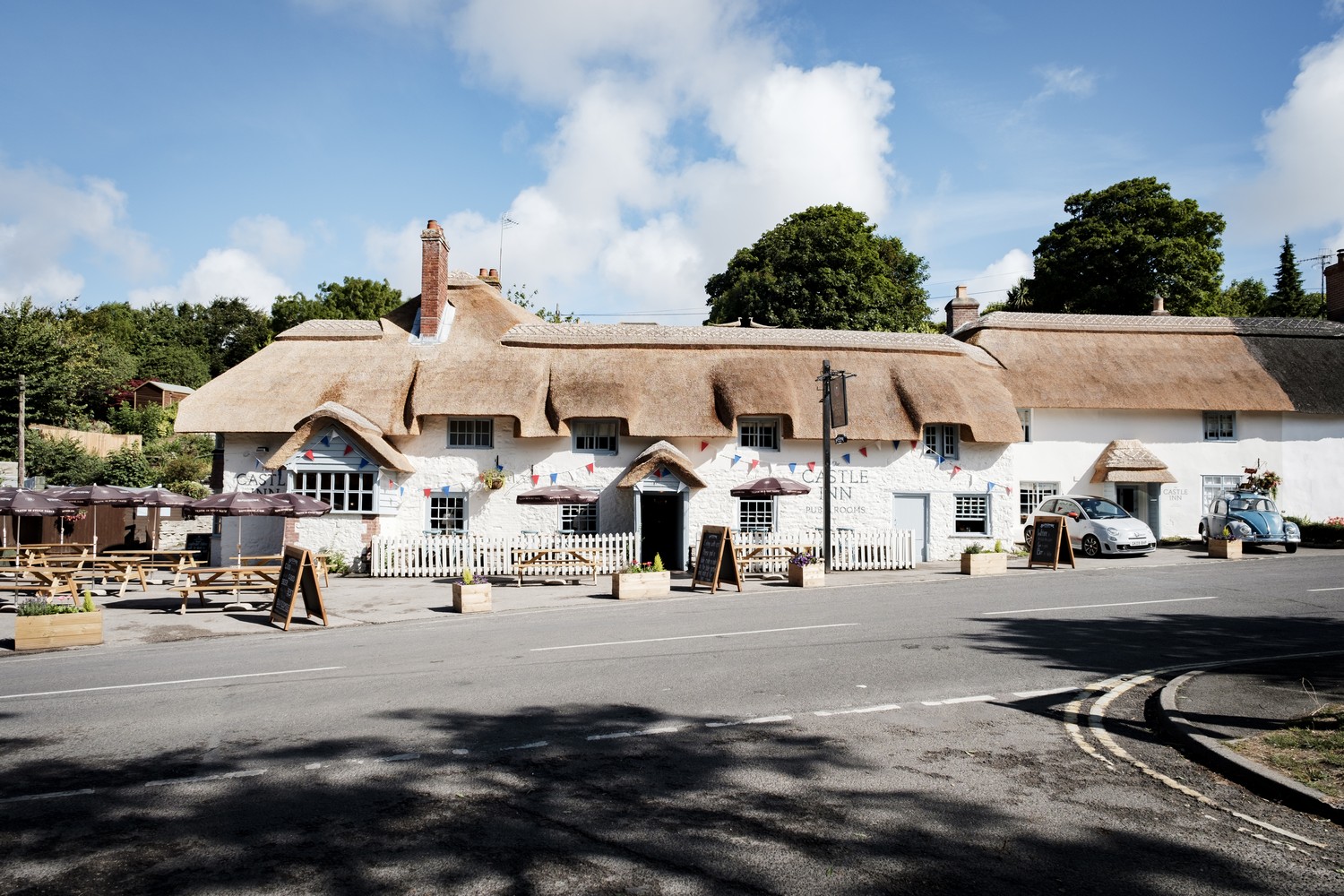


The Lamb to The Queens Arms
START
Turn right out of the Lamb and walk away from the square up the main access street lined with old cottages and town houses. Reach the junction at the top and cross the fairly busy main road, (both sections), to the far side. Then turn left and shortly take the side road right signed to Weston super Mare. A few yards along, turn right up a narrow steep path up through trees and up steps. Come into the end of an open area and car park.
1.CAR PARK
Turn left through to the end of the parking. Go to the left of a notice board and with care cross the side road to the Strawberry Line walk and cycleway.
It was an important rail link taking the early Cheddar strawberries to markets in Bristol and beyond. However, Cheddar Valley branch line fell foul of the Beeching Axe and closed in 1965. Thanks to local authorities and sterling work by volunteers the line is now a popular and expanding walking and cycle track. It is also a haven for wildlife.
Continue along to the main road.
2.MAIN ROAD
Cross the A38 using the island and continue up the Strawberry Line on the other side. Shortly, see ahead of you an old railway tunnel. This is Shute Shelve Tunnel blasted out of solid rock in 1868 to take the railway. About 150 yards before this, turn up left on a small path signed to King’s Wood which climbs parallel with the old line.
3.KING’S WOOD
Go through a wooden gate at the top and then immediately right on a rough path over tree roots uphill a short way to join a higher track. Turn right and follow it up through to the National Trust car park. Don’t enter the car park, but instead turn left quite steeply up through the ancient woodland of King’s Wood which in 2021 underwent a lot of tree clearance due to ash dieback.
4.HILL FARM
Pass Hill Farm on the right and continue up still along the right wall.
Eventually come out at the trig point on Wavering Down (692 ft or 211 metres) and a fine panorama. Now it’s pretty flat along here as you stride out across the Down in the same direction, dropping downhill a little and bending left towards Crook Peak, the only pointed hill on Mendip. Stay following the wall all the way to the end, just before the Peak.
5.FOOT OF CROOK PEAK
Turn right, following the path a little distance from the fence and dropping downhill. Ahead is the Lox Yeo valley with the M5. The path becomes quite stony, slippery and steep. Follow it down and enter a wood. At a junction of tracks and marker post, turn right on the West Mendip Way. Follow the path which leads through a gate to Barton Lane.
6.LANE
Turn left and the lane leads to a junction. Turn right and after a few minutes cross the motorway in the direction of Loxton. Shortly, turn right on a surfaced track going to the side of a gate. Soon, at a bend by a stone building, turn left through a metal gate, and head straight across towards Loxton, aiming well to the left of the low church tower. Go through a yard, through a gate and on to Church Lane. You may like to visit the C13th church here. Go up the lane to the road in Loxton.
7.LOXTON
At the top, turn left on the road through the village for a very short distance. Take the marked tarmac path on the right. Fork up left on a track passing two lodges on your left and bending round right. Stay on the main stony track (West Mendip Way) all the way up Loxton Hill over the next 1.25 miles.
8.LOXTON HILL
Drop down, join a track and go right and immediately through a gate. Continue down to a junction, and here turn left, still descending, on a stony track. Take the first track left, known as Scratchy Lane, and follow this along all the way to meet Roman Road’ on Bleadon Hill.
It was probably once an important drove for moving animals across Mendip, but the actual old Roman Road is a short way parallel to the north.
9.VIEWPOINT
Turn left, uphill for a while. Pass a viewpoint across over Hutton and Weston and continue along the road for well over half a mile.
10.HELLENGE HILL
At a farm, go left through a Bristol Gate and on down, bending round to the right below the mound. Now start this section across fields leading to Hellenge Hill, heading diagonally right across the field to a pedestrian gate on the far side. Carry on across the field keeping just to the right of the dip and reach a stone slab stile. Once over, continue across to another gate and carry on through Hellenge Hill Open Access area downhill, and bear left at a marker post and information board. Leave the hill through a gate, go down the drive to the road in Bleadon and turn right through the village. At the junction turn up right on Bleadon Hill to the Queens Arms.