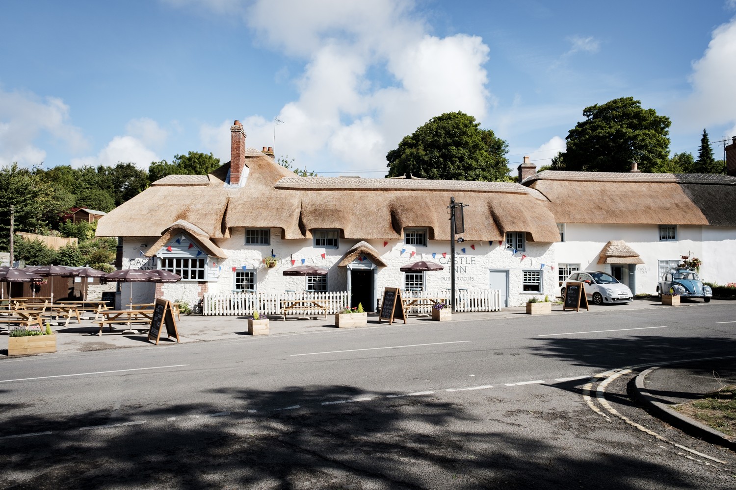


Ring O Bells to The Queen Victoria
START:
Standing with your back to the Ring O Bells, cross the green and turn right past the phone box and along Lower Road in the village.
Turn left in Hook Lane. A short way along, go through a kissing gate (KG) on the right by a large gate. Bear left across the field towards the brow and go through the hedge line (there were only the remains of a stile at the time of writing). Maintain direction with good views across to Mendip and aim for a KG on the far side. Pass to the left of a telegraph pole and through a KG. Drop down the full length of this field, passing to the right of a large oak. Head for the far bottom corner and just to the left of it where it may be wet, go through a gap by another oak to find a KG. Turn right down this next field and a KG which brings you down steps to reach the dam wall of Coley Reservoir.
1.RESERVOIR
Cross the dam and spillway at this beautiful spot, then on through a gate and turn right down the hard track past farm buildings. Reach a lane and turn left and stay left towards Litton and Chewton Mendip. Follow the lane, rising gently to reach the main road.
2.MAIN ROAD
Turn right and shortly cross, with care. Go up the side road, Greendown. Immediately turn up steps right and over a stile. Follow the left hedge along to the corner and go through a KG. Turn left up the left edge of two fields, going through two KGs starting a gentle climb and reach a lane. Turn right. Go left through the first metal gate. Cross the centre of the field aiming for a gap in the woodland near the top right corner. Here go through and up into the next field. Go straight up across and through a gap above in the hedge. Bear up left aiming to the left edge of the small grassy bank. Go through a KG. Follow the path along the stream, then cross and now go uphill up the right field edge with woodland right. In the corner go through into the next field and go up the right edge passing a house and garden on the right. In the top corner go through a large metal field gate and join a stony drive leading left to Back Lane.
3.BACK LANE
Turn right uphill and then go round a double bend and continue up to a T-junction. Go right and stay right going up a rough track, Greendown Batch. This is now a steady climb on The Monarch’s Way for about half a mile ignoring a Bristol Gate. In Spring the route is fringed with bluebells. At the top enter a field.
4.FIELD
Follow the left edge, still the Monarch’s Way. Get great views through the hedge across the valley to where you started. Pass woodland on your left and then a barn on the right and go ahead through a gate to a junction of tracks. Keep straight ahead in the next field keeping the wall left. Carry straight on through a series of fields and gates, and join a track and again keep on through gates to a road. Turn right and shortly at a junction turn right again on the B3135. Follow it for about 10 minutes. Take care as it can be busy. Come to woodland on the left and a little further on take the first track left into Stockhill Woods past a steel barrier.
5.STOCKHILL
After about a minute, turn right on a smaller path which can be muddy and wet. Stay on this as it weaves its way through the woods passing the hollows and mounds from former lead mining. At a junction with a stony track, still in woodland, turn left. Come to a crossroads of tracks and go straight over. Just before the road before reaching Stockhill car park, take the short path on the right to the road. Cross straight over into Priddy Mineries.
Priddy Mineries and St Cuthberts Works were the last lead smelting works on Mendip, finally closed in 1908 because of lead pollution flowing into the paper works at Wookey Hole.
6.MINERIES
Follow the main path – which is on the route of the old mineries railway – for just over half a mile through this humpy bumpy grassland area created from former mining activity. At a line of beeches and a marker post turn right uphill climbing up North Hill. Follow the left boundary all the way to a stile up in the corner and go into the field. Maintain direction. Eventually reach a marked stile ahead of you in a corner and go over into the field coming alongside Nine Barrows over on the left (in fact, there are only seven). Opposite a field gate on the left, bear diagonally right across to a stile in the far edge. Head towards another set of hillocks, the Ashen Hill Barrows and go through between about the third and fourth barrows from the right. Turn left along the other side and then carry on, aiming to the left of a telegraph pole and black drinking trough. Go through the KG on the other side and on to the tarmac lane.
7.NINE BARROWS LANE
Turn left. After about ten minutes pass a rather overgrown pond on the right – this is the genuine Priddy Pool (another one is often mistaken for it). Carry on towards houses in Priddy. Before you reach a road junction, look for a public footpath sign left by a house. If you look to the left you can see the church. Go along and through a gate. Head across through a field into the churchyard.
8.CHURCH
Go to the right of the church , and on through a path by the side the school. Come out by the hall. Turn right and come to Priddy upper green. Fork left down the side and reach the road below. Turn left and shortly come into the centre of Priddy and the main green with the famous hurdle stack. Keep straight on with the hurdles on your right and at the end of the green go up the side road ahead called Pelting Drove to arrive at the Queen Victoria.